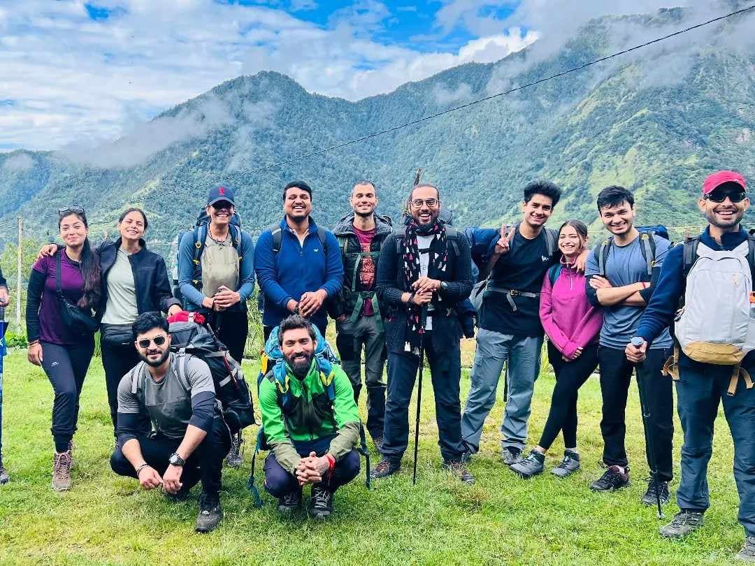
Lohajung (7,700 ft) — Base Camp, Starting Point, Last Road Point
Lohajung is a small Garhwali village in the Wan Valley, Chamoli district — the base camp for the Roopkund Trek, Ali Bedni Bugyal Trek and Brahmatal Trek. At 7,700 feet, it sits on a forested ridge above the Pindar River valley, surrounded by dense rhododendron and oak forest.
The village has guesthouses, a few shops, medical aid during trekking season, and a BSNL mobile signal — the last you'll have until your return. Trekkers typically arrive here in the late afternoon or evening on Day 1 after the long drive from Kathgodam or Rishikesh.
Key practical notes for Lohajung:
-
Last ATM: Gwaldam or Tharali (40–50 km before Lohajung). Carry sufficient cash.
-
Mobile network: BSNL / MTNL only. Jio, Airtel, Vi lose signal progressively after Gwaldam.
-
Gear rental: Basic trekking poles and gaiters available. Confirm with your operator.
The forest department checkpost is located at Lohajung — all trekkers must register here and obtain the required entry permit before beginning the trail.
Didna Village (8,500 ft) — First Campsite, Traditional Garhwali Village
Didna Village is the first major campsite on the Roopkund Trek, located at around 8,500 ft. The trail from Lohajung first descends toward the Neel Ganga valley and then climbs steadily through dense oak and rhododendron forests to reach the village.
Didna is a peaceful traditional Garhwali village known for its stone houses, terraced farms, and warm local hospitality. Many trekkers stay here in homestays or camps before continuing toward Aali Bugyal.
The forest section leading to Didna is especially beautiful during spring when rhododendron flowers bloom across the trail. In autumn, the forests turn golden, creating a completely different but equally scenic atmosphere.
Ali Bugyal (11,800 ft) — Vast Rolling High-Altitude Meadow
Ali Bugyal is one of the most beautiful sections of the Roopkund Trek, located at around 11,800 ft. After climbing through forests for hours, trekkers suddenly enter a massive open meadow surrounded by endless mountain views.
The grasslands here stretch across huge rolling slopes with peaks like Trishul and Nanda Ghunti rising directly in front of the trail. The open landscape feels completely different from the lower forest sections, with cool winds constantly flowing across the meadow.
During summer, large flocks of sheep and goats can often be seen grazing here with local Gujjar and Gaddi shepherds. This combination of green meadows, grazing animals, and snow-covered Himalayan peaks creates one of the most iconic views on the entire trek.
Bedni Bugyal (11,450 ft) — the Most Beautiful Campsite on the Trek
Bedni Bugyal is widely considered the most beautiful campsite on the Roopkund Trek. Located at around 11,450 ft, this massive alpine meadow offers breathtaking open views of Himalayan peaks like Trishul, Nanda Ghunti, and Neelkanth.
One of the biggest highlights here is the peaceful atmosphere and the stunning sunset views. As the evening light falls on the snow-covered peaks, the entire landscape turns golden, creating one of the most memorable moments of the trek.
The nearby Bedni Kund, a small sacred lake, adds spiritual importance to the campsite. Nights at Bedni Bugyal are usually cold but very clear, and the meadow offers excellent opportunities for stargazing under the open Himalayan sky.
Bedni Kund — Sacred Lake Beside the Bedni Bugyal Camp
Bedni Kund is a small lake beside the Bedni Bugyal camp — sacred to the local Garhwali community and connected to the Nanda Devi Raj Jat Yatra. During the 12-yearly pilgrimage, devotees perform rituals at Bedni Kund as part of the sacred route.
The lake is calm, reflective, and beautifully set. In early morning, it reflects the peaks and the sky in perfect stillness. There is a small temple structure at the lake's edge. Bathing in the lake for devotional purposes is traditional — though the water is near-freezing even in summer months.
Kalu Vinayak (12,900 ft) — Ganesh Temple and First Panoramic Himalayan View
Kalu Vinayak is a small Ganesh temple located on a rocky ridge at around 12,900 ft. The climb from Bedni Bugyal to this point is steep and tiring, making it the first serious high-altitude section of the Roopkund Trek.
Trekkers usually stop here to rest, pray, and enjoy the incredible Himalayan views. From Kalu Vinayak, the landscape changes completely. The green bugyals slowly disappear, and the route ahead becomes more rugged and rocky.
On clear days, you can see major Himalayan peaks along with the upper Roopkund route stretching toward Bhagwabasa and the high mountain ridges beyond. For many trekkers, this is the first moment where the scale and beauty of the trek truly become visible.
Patar Nachauni (12,600 ft) — High Camp Above the Meadows
Patar Nachauni is a high camp at 12,600 feet, situated after the descent from Kalu Vinayak in terrain that has transitioned from meadow to rocky alpine. The name translates roughly to "stone-floored dancing ground" — though there is nothing festive about the campsite, which is exposed, rocky, and cold.
This is the last camp before Bhagwabasa. Some itineraries use Patar Nachauni as an intermediate stop between Bedni and Bhagwabasa — a wise acclimatisation strategy for trekkers who felt the altitude strongly at Bedni Bugyal (11,450 ft) the night before. The extra altitude gain day significantly reduces AMS risk at the 14,100 ft Bhagwabasa camp.
Bhagwabasa (14,100 ft) — Last Camp Before Roopkund, Above Treeline
Bhagwabasa — "abode of God" — at 14,100 feet is the highest campsite and the final preparation point before summit day. The terrain here is completely barren: no vegetation, only rock, scree, and snow patches. The sky feels very close. The air is noticeably thin.
Most trekkers arrive at Bhagwabasa by noon after the climb from Patar Nachauni and spend the entire afternoon resting — eating, drinking water, sleeping if possible. The summit push for Roopkund begins at 4:00 to 5:00 AM the following day.
Night at Bhagwabasa is genuinely extreme — temperatures drop to –5°C to –10°C even in May, and to –15°C or below in October. The wind is constant. A sleeping bag rated for –15°C is not optional here.
Roopkund Lake (15,696 ft) — the Skeleton Lake
Roopkund Lake at 15,696 feet is the destination that defines this entire trek. The lake is small — perhaps 40 metres across — set in a steep natural bowl below rocky headwalls. The water is glacially clear in summer, revealing the lake bed where skeletal remains lie visible in the shallows.
The approach from Bhagwabasa involves approximately 1,600 feet of altitude gain in roughly 3 km — a steep, relentless climb on mixed rock and snow. Above 15,000 feet, every step requires conscious effort. Most trekkers take 3–4 hours from Bhagwabasa to the lake.
Standing at Roopkund — at nearly 16,000 feet — with human bones visible below the water's surface and the peaks surrounding you on all sides — is an experience that defies easy description. It is simultaneously beautiful, strange, humbling, and deeply moving. It stays with you.
Junargali (15,100 ft) — Alternate Descent Pass
Junargali is a high pass at 15,100 feet, used on the alternate descent route from Roopkund. Crossing Junargali descends into the Wan Valley via a different route than the ascent, adding variety and additional high-altitude terrain to the experience.
The Junargali route adds distance and exposure — it is not recommended for trekkers who struggled on the ascent. But for those with energy and time, the descent via Junargali offers a more complete circuit of the Roopkund high zone.