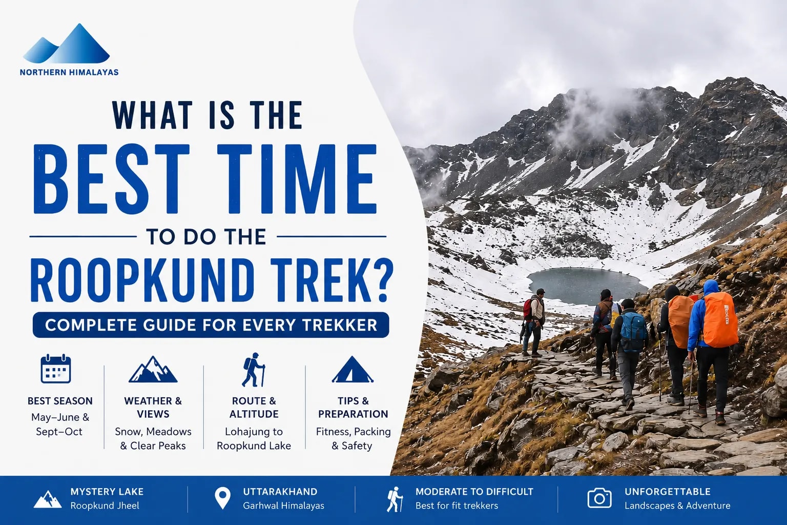
Planning the Roopkund trek but have some questions — when should you actually go? Some trekkers want snow-covered trails, while others dream of green meadows, clear mountain views, and comfortable weather. The truth is that the Roopkund trek changes completely with every season, and choosing the right time can decide whether your experience becomes enjoyable or unnecessarily difficult.
This guide covers everything you need to know about the best time for the Roopkund trek, including weather conditions, route details, trekking difficulty, altitude challenges, fitness preparation, and seasonal differences.
Whether you are a beginner planning your first Himalayan trek or someone looking for a proper Roopkund trek package, this detailed guide will help you understand what to expect before entering the high-altitude trails of Uttarakhand.
What Makes the Roopkund Trek One of Uttarakhand’s Most Famous Treks?
The Roopkund trek is not just another Himalayan trail. It is one of the most talked-about treks in Uttarakhand because of its combination of mystery, alpine landscapes, ancient forests, high-altitude camping, and the famous Roopkund Lake, also known as Roopkund Jheel.
Located deep inside the Garhwal Himalayas, this trek takes you through changing landscapes almost every day. One moment you walk inside dense oak and rhododendron forests, and a few hours later you enter open meadows like Ali Bugyal and Bedni Bugyal. These meadows are considered among the largest alpine grasslands in Asia.
The trek became globally famous because of the human skeletons found near Roopkund Lake. Scientists believe these remains are several hundred years old, which gave the lake the nickname “Skeleton Lake.” But beyond the mystery, trekkers mainly visit Roopkund for the raw Himalayan experience.
Another reason for its popularity is the mountain scenery. During clear weather, trekkers can witness major Himalayan peaks like:
-
Trishul
-
Nanda Ghunti
-
Chaukhamba
-
Neelkanth
Unlike short weekend treks, the Roopkund trek feels like a complete expedition. The altitude, terrain changes, remote campsites, and long trekking days create a real adventure experience.
At the same time, beginners often underestimate the difficulty. The trail involves steep ascents, unpredictable weather, and high-altitude exposure above 4,500 meters. Proper preparation becomes extremely important, especially during colder months.
Where Is Roopkund Lake Located? Route, Region, and Altitude Explained
Roopkund Lake is located in the Chamoli district of Uttarakhand inside the Trishul massif region of the Garhwal Himalayas. The lake sits at an altitude of approximately 4,800 meters above sea level, which makes it a serious high-altitude trekking destination.
The Roopkund trek usually starts from Lohajung village, a peaceful mountain settlement that acts as the base camp for most Roopkund expeditions. Lohajung itself is located at around 2,300 meters and serves as the final motorable point for trekkers.
From Lohajung, the trail gradually climbs through villages, forests, and bugyals before reaching higher camps like:
-
Didna Village
-
Ali Bugyal
-
Bedni Bugyal
-
Bhagwabasa
-
Roopkund Lake
The trekking distance depends on the chosen itinerary, but most routes cover approximately 45–55 km in total.
One important thing many beginners do not realise is how rapidly the altitude increases after Bedni Bugyal. The oxygen level starts dropping noticeably, especially near Bhagwabasa and Roopkund. This is where many trekkers struggle with fatigue, breathlessness, and mild altitude sickness.
The region remains inaccessible during heavy snowfall and monsoon periods because weather conditions become dangerous. That is why choosing the correct season is extremely important for safety and visibility.
Roopkund Trek Best Time: Which Season Should You Choose?
The best time for the Roopkund trek is usually divided into two main trekking windows:
-
Summer season (May to June)
-
Autumn season (September to October)
Both seasons offer completely different experiences.
Summer is ideal for trekkers who want snow patches, green meadows, flowing streams, and moderate temperatures. During this period, leftover winter snow still remains near higher camps, creating beautiful Himalayan scenery without making the trek extremely dangerous.
Autumn, on the other hand, is known for crystal-clear mountain views, dry weather, and stable trekking conditions. The skies remain clearer after monsoon, making this season excellent for photography and Himalayan visibility.
Choosing between the two depends on your priorities.
If you prefer:
-
Snow + greenery → choose May or June
-
Clear views + stable weather → choose September or October
Winter trekking is generally avoided because the trail receives heavy snowfall and becomes unsafe near Roopkund Lake. Similarly, monsoon months bring landslides, slippery trails, and poor visibility.
For beginners, late May, June, and September are considered the safest and most balanced months.
Roopkund Trek in Summer (May to June): Lush Meadows and Melting Snow
Summer is the most popular season for visiting the Roopkund trek because it offers the perfect balance between adventure and comfort.
During May and June, the lower forests become green and vibrant after winter. Rhododendron flowers bloom along sections of the trail, while the aali bedni bugyals slowly turn bright green under clear skies.
One of the biggest highlights of summer trekking is the snow experience. Trekkers usually encounter snowfields near Bhagwabasa and higher sections close to Roopkund Lake. This creates the classic Himalayan trekking atmosphere many first-time trekkers expect.
Weather Conditions During Summer
Day temperatures usually remain comfortable between 10°C to 18°C at lower camps. However, nights at higher camps can still drop below freezing.
Weather changes quickly in the Himalayas, especially during afternoons. Clear mornings may suddenly turn cloudy with cold winds. That is why trekkers should always carry waterproof jackets and proper layering systems.
Why Summer Is Beginner-Friendly
Summer trekking conditions remain more manageable because:
-
Trails stay visible
-
Snow is softer and partially melted
-
Water sources remain available
-
Campsites are active and accessible
However, the climb from Bedni Bugyal onward still requires good stamina. Many beginners struggle because they underestimate long trekking hours at altitude.
For beginners, late May, June, and September are considered the safest and most balanced months. (source- roopkund heaven)
Roopkund Trek in Autumn (September to October): Golden Landscapes and Clear Skies
Post-September, the Himalayas undergo a transformation. The humidity of the monsoon disappears, replaced by a biting, dry cold and incredibly blue skies. This is the Best time to do Roopkund trek if your goal is to see the peaks of the Nanda Devi sanctuary in all their glory. The meadows of Ali Bedni Bugyal turn from vibrant green to a majestic golden-brown, creating a stark contrast against the white peaks.
In autumn, the Roopkund lake is usually completely liquid, and the snow on the trail to Junargali is minimal. This makes the climb technically easier but physically colder. Night temperatures at Bhagwabasa can plummet to -10°C in October. The air is thinner and drier, which can make breathing feel more labored for some. However, the stability of the weather is a huge plus—storms are rare in October, and the probability of reaching the summit is statistically higher than in any other month.
Why You Should Avoid the Roopkund Trek During Monsoon
Attempting the Roopkund trek route between July and August is a recipe for disaster. The region of Chamoli receives heavy rainfall, which leads to several critical issues:
-
Landslides: The road to Lohajung (the base camp) is prone to frequent blocks, potentially stranding you for days.
-
Slippery Trails: The steep ascent through the forests becomes a muddy mess. The "slush factor" makes the trek twice as tiring and increases the risk of falls and sprains.
-
Leeches: The forest stretches between Lohajung and Ali Bugyal become infested with leeches during the rains, which can be an annoying and messy hurdle for many trekkers.
-
Zero Visibility: The main attraction—the Himalayan views—will be completely hidden behind a thick wall of monsoon clouds.
Moreover, the high-altitude section beyond Patar Nachuni becomes dangerously unstable during heavy rains. Lightning is also a significant risk on the open meadows of the Bugyals.
Month-by-Month Weather Guide for the Roopkund Trek
-
May: The trail opens. High snow at the lake. Cold nights (-2°C).
-
June: Peak summer. Meadows are green. Snow on the final climb. Great for beginners.
-
July - August: Monsoon. Highly discouraged. High risk of landslides.
-
September: Transition month. Crisp air begins. Meadows start turning gold.
-
October: Best views. Very cold nights (-10°C). Stable weather.
-
November - April: Winter. The trail is officially closed due to heavy snow and extreme risk of avalanches on the higher reaches.
Roopkund Trek Route Explained: Lohajung to Roopkund Lake
The Roopkund trek route is a masterpiece of Himalayan transition. It typically spans 6 to 8 days, depending on your pace and acclimatization needs.
-
Lohajung to Didna (8,000 ft): A gentle descent followed by a steady climb through oak forests.
-
Didna to Ali Bugyal (11,000 ft): A grueling steep climb that tests your lungs. You emerge from the forest into the vast Ali Bugyal.
-
Ali Bugyal to Bedni Bugyal and Patar Nachuni (12,700 ft): A relatively flat walk on the meadows with the most iconic views of Trishul.
-
Patar Nachuni to Bhagwabasa (14,100 ft): The "Zig-Zag" climb to Kalu Vinayak. This is where you feel the altitude.
-
Bhagwabasa to Roopkund & Junargali (15,750 ft): The summit push. It’s a 3 AM start over snow and boulders.
-
Descent: Usually via the Wan village route to complete the loop back to Lohajung.
How to Reach Lohajung: The Base Camp for Your Roopkund Trek
Lohajung is the heartbeat of this trek.
-
From Dehradun/Rishikesh: It is a 10-12 hour drive. The route takes you through Devprayag, Rudraprayag, and Karanprayag.
-
From Kathgodam: This is the most popular route. A 9-10 hour drive through Almora and Kausani.
-
Pro Tip: Always hire a local taxi or use a Roopkund trek package that includes transport. The mountain roads to Lohajung are narrow and require an experienced "Pahadi" driver who understands the terrain.
Physical Fitness and Preparation for the Roopkund Trek Uttarakhand
You cannot "wing" the Roopkund trek. It is a demanding climb that requires a specific fitness regimen starting at least 2 months in advance.
-
Cardiovascular Endurance: You should be able to run 5km in 30 minutes. The thin air at 15,000 feet will punish a weak heart and lungs.
-
Leg Strength: Focus on squats and lunges. The descent from Junargali to Wan is a 6,000-foot drop in a single day—it will shatter your knees if they aren't conditioned.
-
Breathing Exercises: Practice Pranayama. Learning to take deep, rhythmic breaths is the best defense against Acute Mountain Sickness (AMS).
-
Mental Grit: On day 5, when you are cold, tired, and breathless, it is your mental strength that will get you to the Roopkund jheel.
Best Time for Photography, Camping, and Himalayan Views on the Roopkund Trek
For the shutterbugs, September and October are non-negotiable. The "Blue Hour" at Bedni Bugyal during these months is legendary. The lack of moisture in the air means you can capture the texture of the snow on Mt. Trishul with incredible detail.
For camping enthusiasts, June offers the best experience. The weather is warm enough to sit outside your tent and enjoy the Milky Way. Camping at Ali Bugyal under a summer sky is often the highlight of the roopkund trek for many. The meadows are soft, and the grazing horses add a pastoral charm to your photos that is missing in the harsher autumn months.
Quick Tips for Success (Permits, Difficulty, and Training)
-
Permits: You need forest department permits. Most roopkund trek package operators handle this. Carry 3-4 photocopies of your ID and photos.
-
Difficulty: Rated as 'Moderate-Difficult'. It is not for someone who has never hiked before. Do a smaller trek like Nag Tibba first.
-
Training: Carry a 5kg backpack during your practice walks to simulate trek conditions.
-
Hydration: Drink 4 liters of water a day. Dehydration is the fastest way to get AMS.
Essential Packing List for a High-Altitude Himalayan Trek
-
Footwear: High-ankle trekking boots with deep lugs. Avoid sports shoes.
-
Clothing: The layer system is vital. A moisture-wicking base layer, a fleece mid-layer, and a heavy down jacket (rated for -10°C).
-
Headgear: A woolen cap that covers your ears and a sun hat for the meadows.
-
Accessories: UV-protected sunglasses (essential to prevent snow blindness) and high-quality trekking poles to save your knees.
Why We Prefer Northern Himalayas for Roopkund Trek Packages
Many trekkers prefer Northern Himalayas for Roopkund trek package because they provide structured itineraries, experienced trek leaders, and proper high-altitude safety management.
They also organise transportation, accommodation, meals, and camping logistics, which helps beginners focus more on the trekking experience instead of planning difficulties.
During trekking season, they regularly operate batches, making scheduling more flexible for travellers.
Safety and Altitude Challenges: Managing AMS on the Way to Roopkund Jheel
At Roopkund lake, the oxygen is nearly 40% less than at sea level. AMS (Acute Mountain Sickness) is a very real threat.
-
Symptoms: Persistent headache, nausea, loss of appetite, and dizziness.
-
Protocol: If symptoms persist at Patar Nachuni, do not proceed to Bhagwabasa. The only cure for AMS is descent.
-
Prevention: Climb high, sleep low. Most professional roopkund trek itineraries include a "buffer day" or a slow ascent to Ali Bugyal to help your body adjust. Never take Diamox without consulting a doctor first.
20 Frequently Asked Questions
-
Are the skeletons still visible? Yes, especially in autumn when the snow melts.
-
Is it safe for solo trekkers? No. Due to the altitude and weather, always go with a group or guide.
-
What is the minimum age? Usually 12 years, provided the child is physically active.
-
Are there toilets on the trek? Yes, dry pit toilets are set up at campsites.
-
Is there mobile network? Only up to Lohajung. After that, you are off-grid.
-
Can I do it in sneakers? Absolutely not. You need trekking boots.
-
What is the distance of the trek? Approximately 53 km round trip.
-
Is non-veg food provided? Most operators provide high-carb veg food as it's easier to digest at altitude.
-
Can I hire a mule? Yes, for your backpack, but not for riding in steep sections.
-
How cold does it get? Between 5°C and -10°C.
-
Do I need a medical certificate? Yes, a fitness certificate from a doctor is mandatory.
-
Is there electricity? No. Carry power banks.
-
Is the trek open in 2026? Check local forest dept. updates as some sections are regulated.
-
What is Junargali? A ridge 700 ft above the lake with even better views.
-
Are there leeches? Only in monsoon.
-
How long is the summit day? 7-9 hours of grueling walking.
-
Can I see Mt. Trishul clearly? Yes, it feels like you can touch it from Bhagwabasa.
-
Is the water safe to drink? Yes, from mountain springs, but use chlorine tablets.
-
What if it rains? Use a poncho and keep walking unless there is lightning.
-
Why is it called the Skeleton Lake? Due to the 500+ human remains found there.